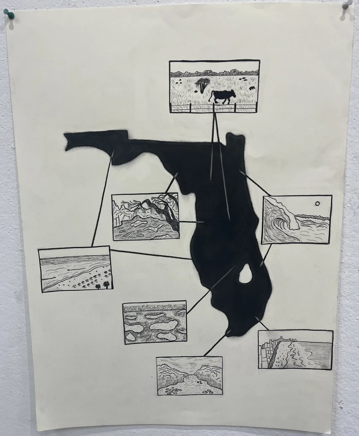
Florida diagram 11/30/25
This is a drawing I made for one my classes at Texas State. The assignment involved creating a type of diagram or map of something your interested in. I chose to portray the different landscapes in Florida. I was born and lived in Florida until I was 18, when I then moved to Montana, then Texas. I’ve traveled all around Florida, and lived on both the west and East coast. Florida is a large state with a variety of landscapes, which is why I chose it for my diagram. The landscape on top portrays central Florida, hence the open field and cow land. On the right is the East coast, where they have the best beaches for surfing. On the bottom, I drew the Miami Beach, with the skyline along the coast, as well as the swampy Everglades. Moving up, is the southern/central area, with an abundance of lakes. In the panhandle, and southern west coast, there are white sand, and clear water beaches, with flat waves. Lastly, my favorite part is the “nature coast” of Florida. It’s known for its wildlife and bright blue springs. Overall, I’m happy with how this drawing turned out, and I think I did a decent job of representing the varying landscapes of Florida.